Marfa, TX, December 2008
Got into the air around 10 AM Sunday. Picked up some ethanol free mogas at T13 and headed straight for Fort Stockton.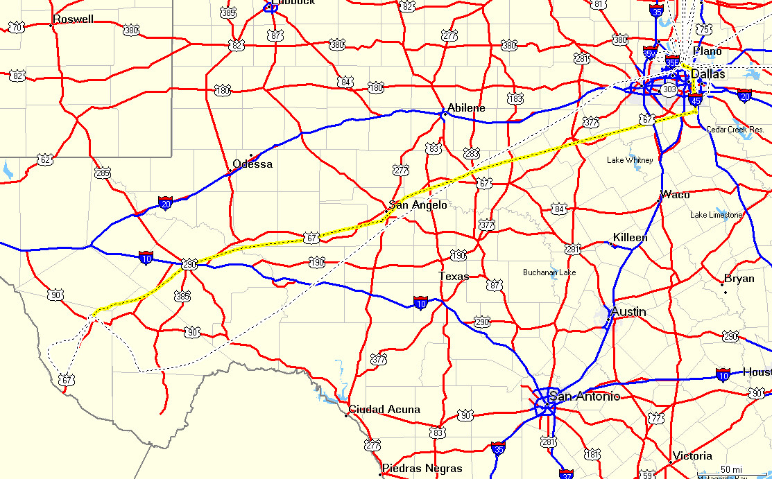
West of Brownwood it gets pretty desolate.
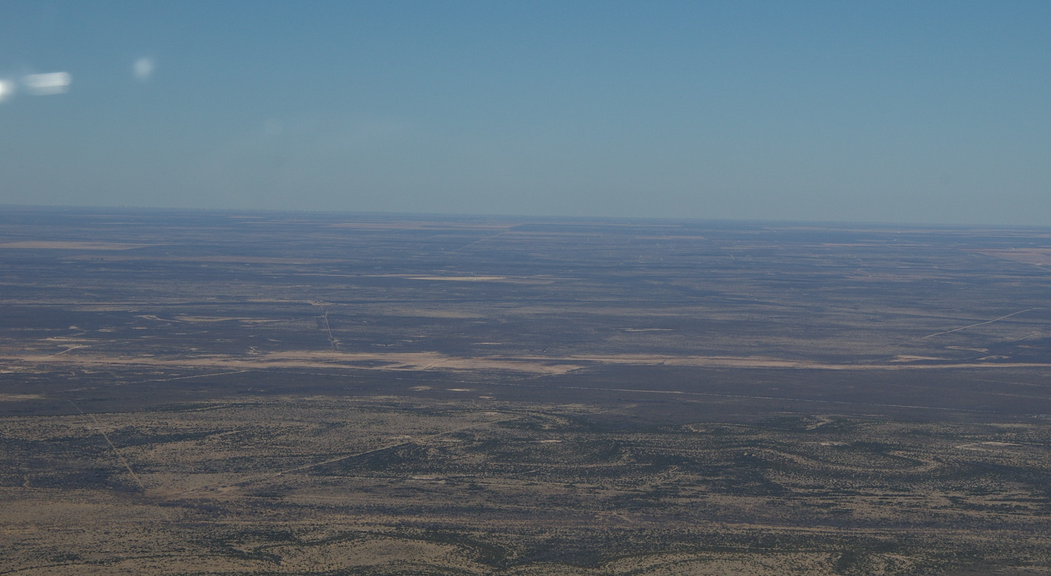
Then you get into the Permian Basin. A lot of towns that had 10-30,000 people back in the '20's, during the oil boom, but a few thousand now.
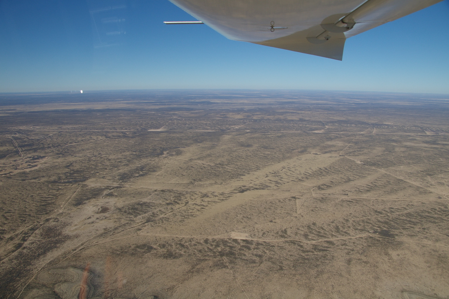
The headwind was pretty stiff, about 30kt at 6000 MSL, even more higher up. The forecast was for hardly any wind at all. Most of the calls to flight service were for groundspeed checks. A lot of people heading west had to make extra fuel stops.
I had to piss really bad so I stopped in San Angelo and fueled up. Between there and Fort Stockton is a bunch of mesas covered with T.Boone's windmills, hundreds of them.
Fort Stockton
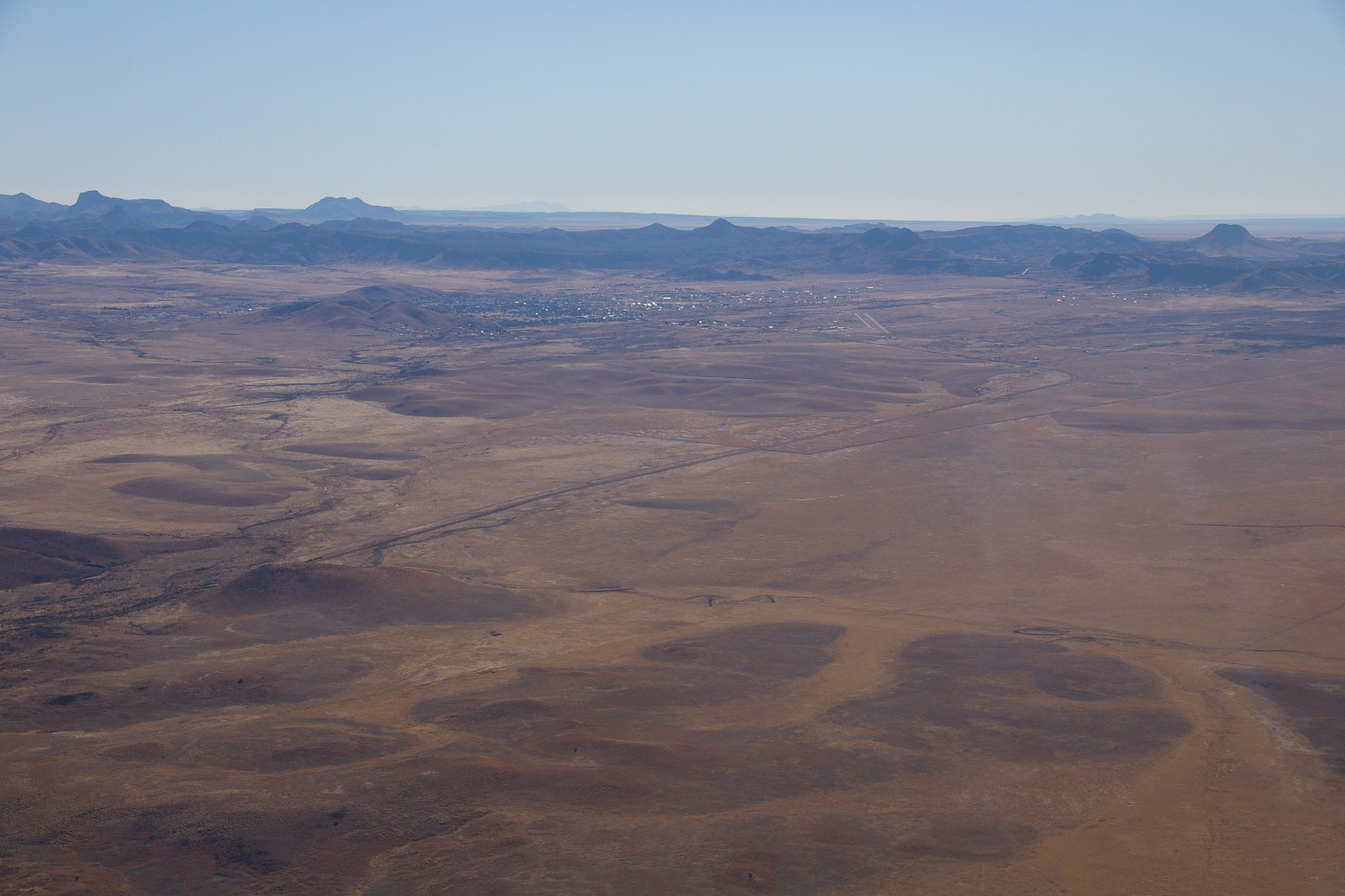
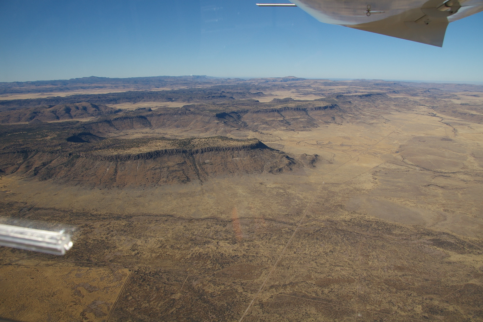
From Fort Stockton the terrain rises and the mountains begin. To my right is Fort Davis, and the McDonald observatory.
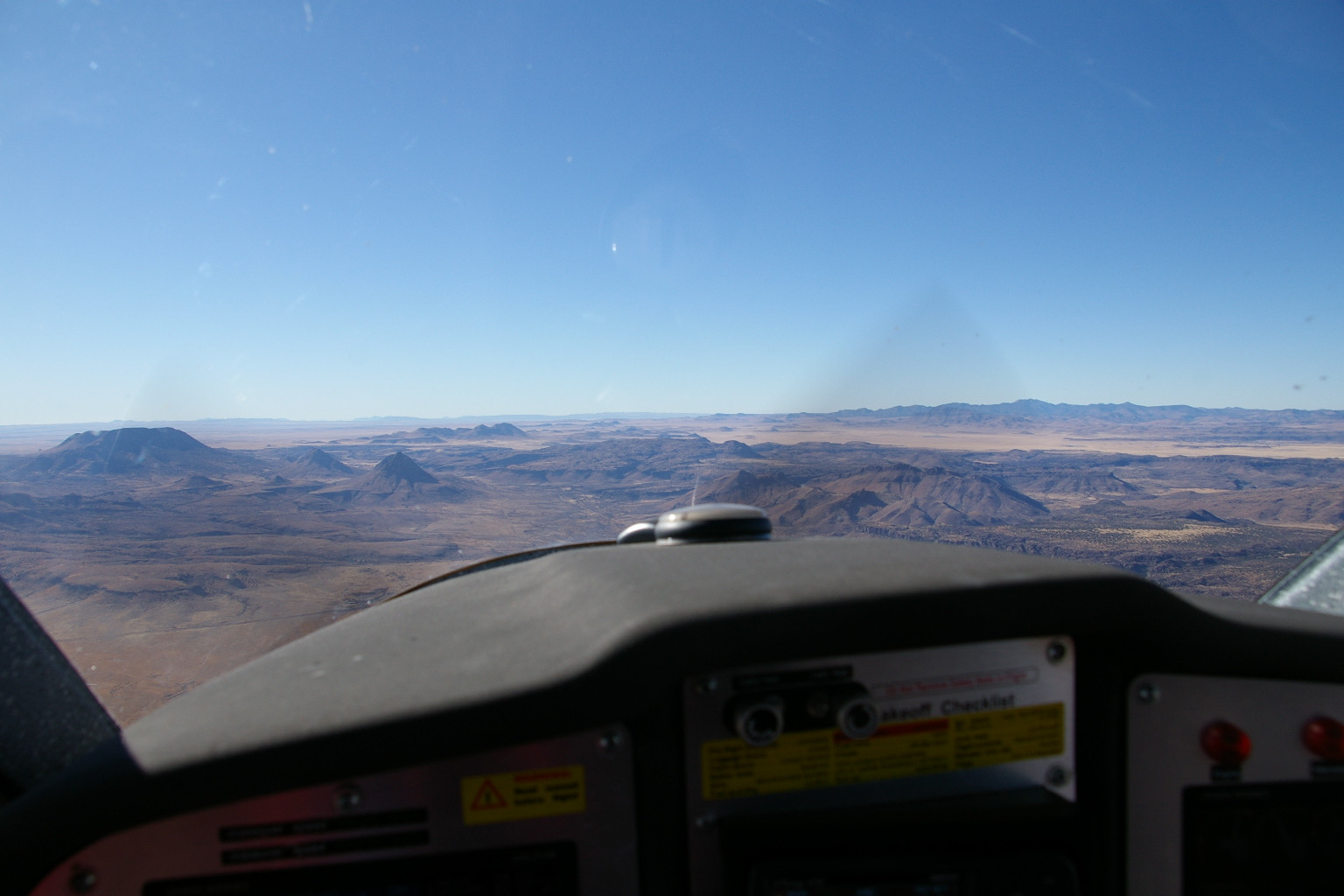
Ahead is the Marfa plain
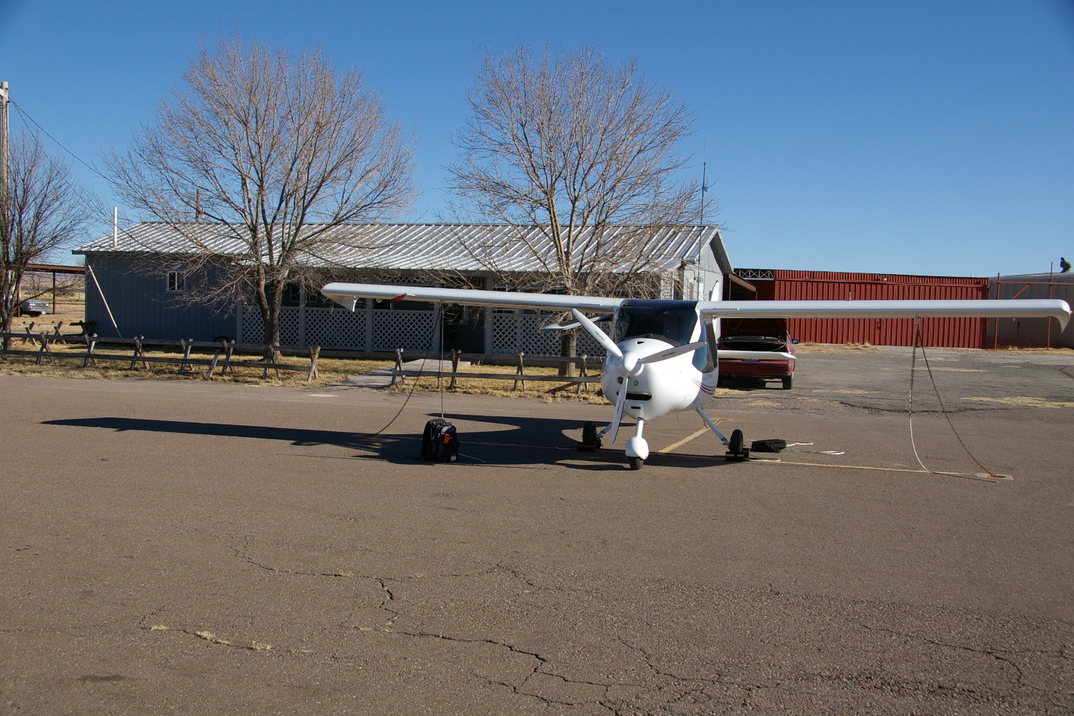
There were some gliders practicing landings on 21 at KMRF, but the wind was howling from 280. With full left rudder and right stick I couldn't get aligned with the runway, so I crabbed down to the numbers, where it wasn't as bad, except for the gust the almost blew me off the runway while taxiing. The FBO is quaint. Free tie-downs, and a vintage '92 Mercury Topaz rental car, in dire need of a wheel balancing.
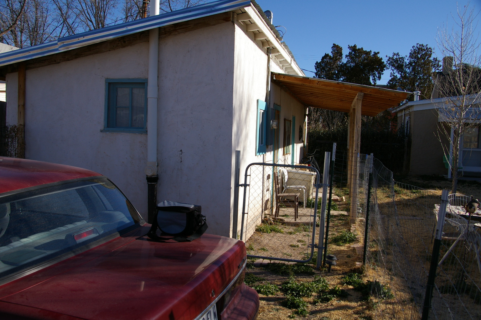
The place to stay in Marfa is the Paisano Hotel, recently restored. During the filming of Giant, Elisabeth Taylor, etc., stayed there. It was sold out on Sunday, and I was able to procure a guest house, otherwise known as a chicken coop, for a couple of nights. It really was a chicken coop, but now has all the comforts, except phone, internet, and television. Did I mention no heat, and it was 15F in the morning?
Note vintage Topaz in the foreground.
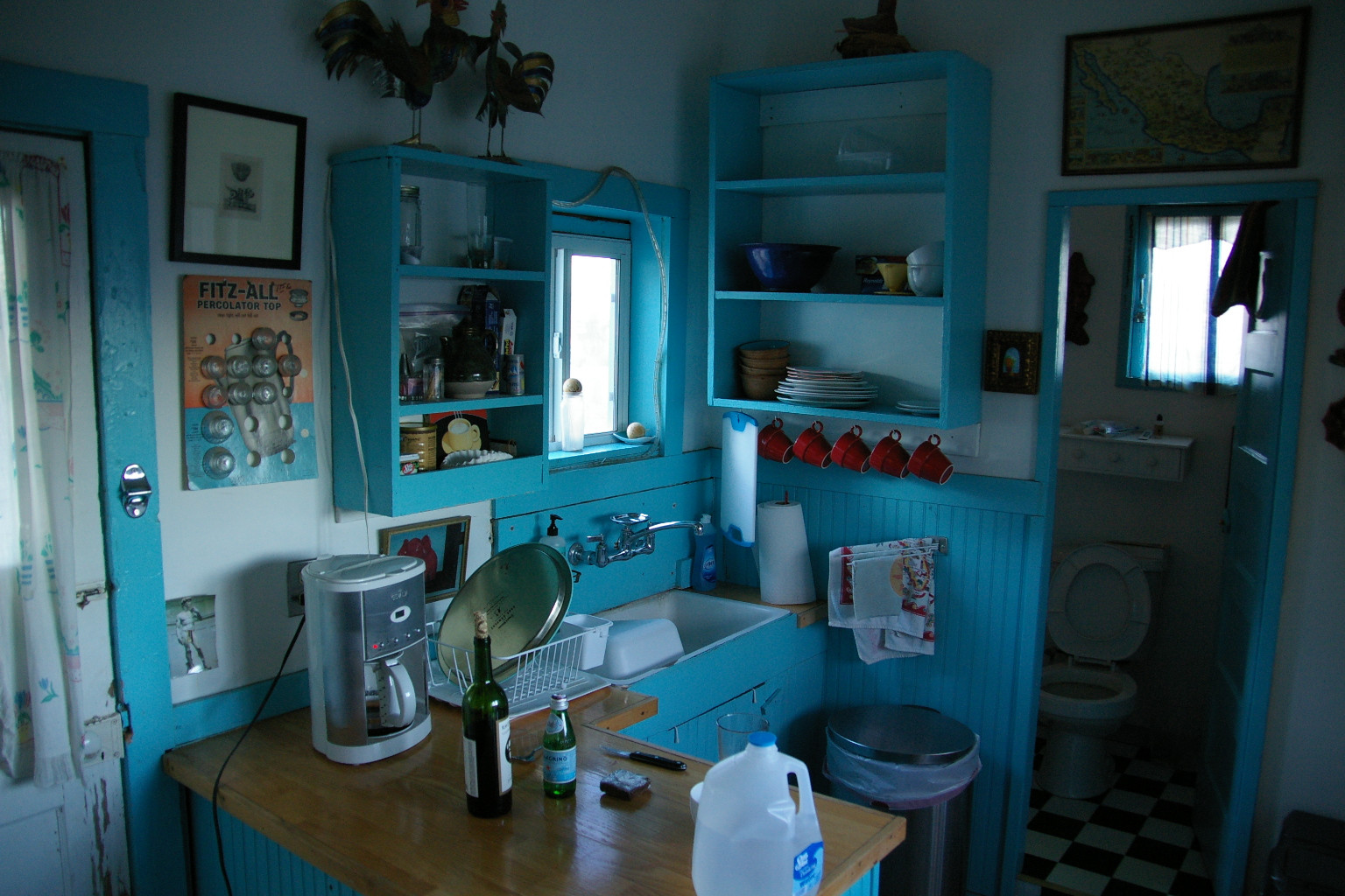
Sunday in Marfa is dead. The only restaurants open are the pizza place, the DQ, and the restaurant at the Paisano.
Marfa is combination of Santa Fe and Door County, WI. Most of the place is really run down, but every 10th house or so is a new faux-stucco bungalow with a metal roof. 90% of them are for sale. The owner of the chicken coop left Santa Fe for Marfa, so maybe Marfa is where the old Santa Fe crowd escaped to after so many New Yorkers moved to Santa Fe.
I had dinner Sunday at the Paisano's restaurant. Some of the crowd was impeccably dressed, but most were in flannel shirts and down vests. I wore a fleece vest so as not to draw attention. There was a small contingent of bikers, also. The menu had 6 courses, 3 steaks, chicken, salmon (this far from the ocean?) and something else. The pistachio crusted fried steak I had was excellent.
The next day is beautiful flying WX, so I head south. I flew around the Chinati mountains, but the pics didn't come out very well. The Rio Grande Valley.
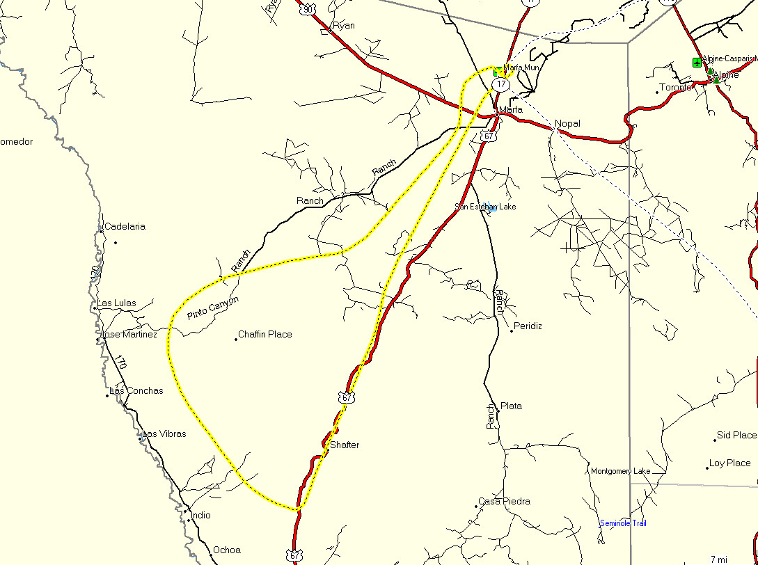
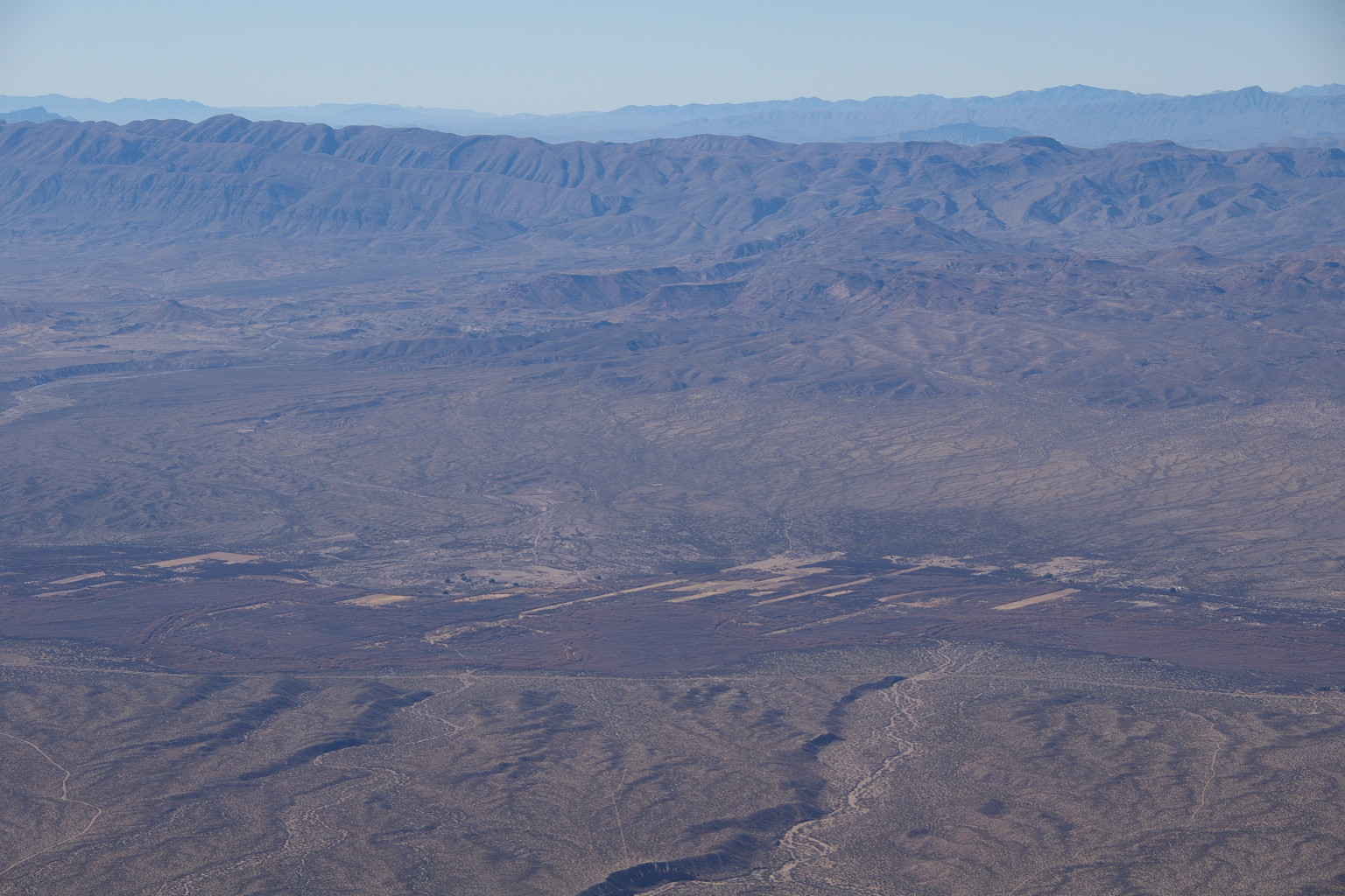
Chinati mountains. This is where the Marfa Lights originate.
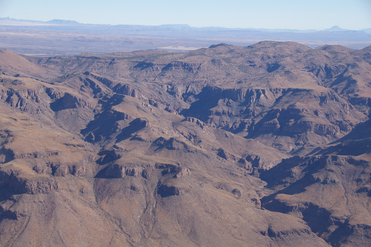
Presidio
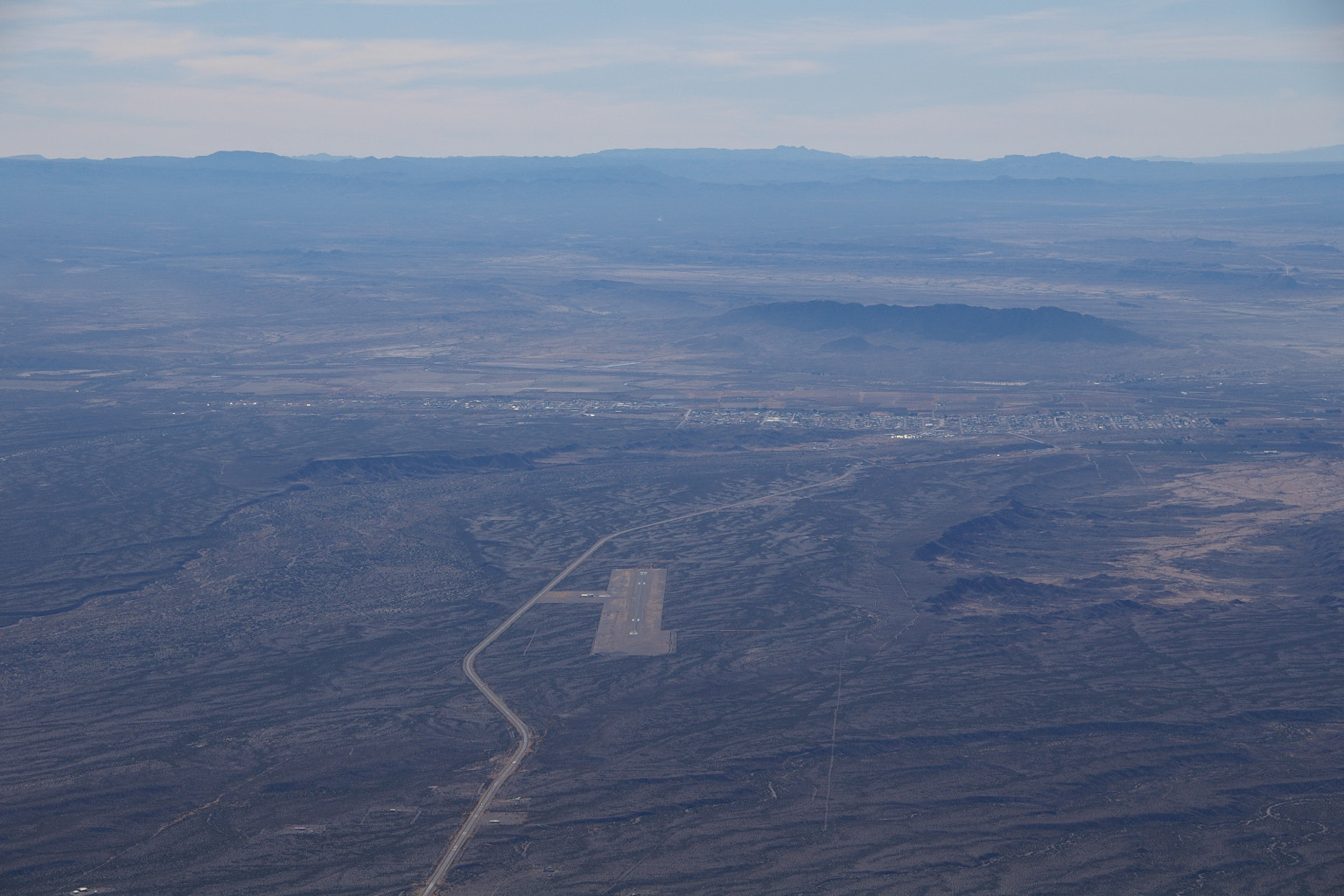
Next to Marfa Airport, a huge hydroponic tomato farm. The plants inside are 8 feet tall.
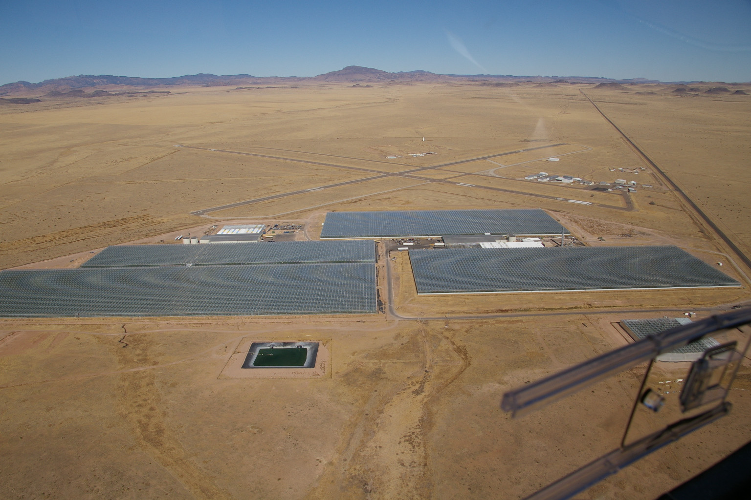
Enough flying for one day. An artsy photograph, showing the existential struggle of kung-fu grip vs. a dog's teeth.
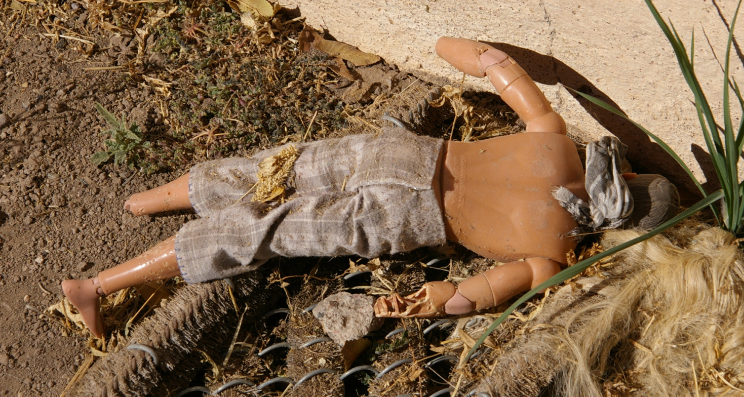
Then East of town (in the Topaz) at sunset to see the lights.
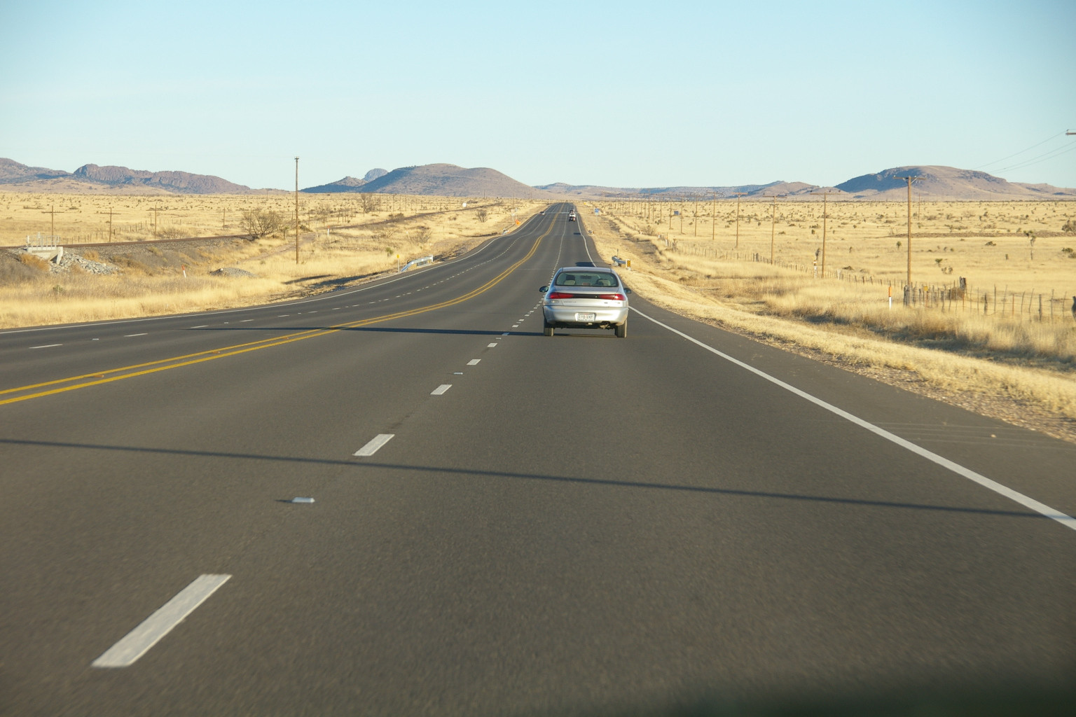
There's a nice rest stop with facilities east of town. Seems to be a popular place for the locals to get drunk.
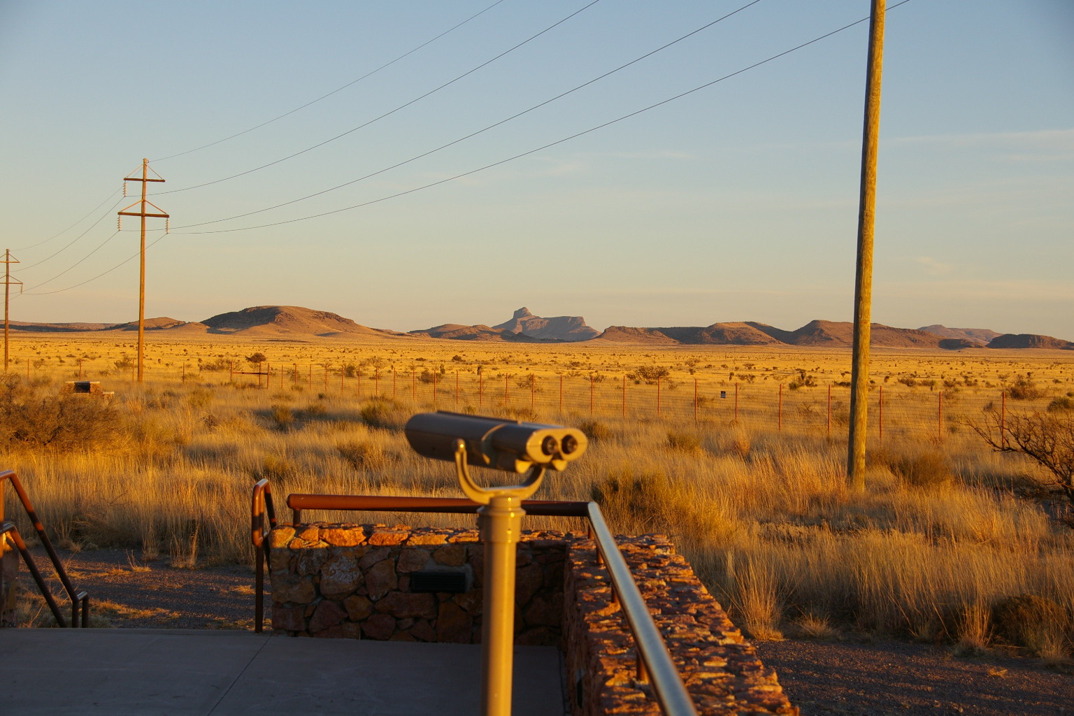
The lights appeared on schedule at sunset. They seem to be very coherent (point sources) versus what you would see from a car headlight. The piezoelectric theory of their origin makes the most sense to me. At one point there were about a dozen of these that I could see with binoculars. The brighter ones did show up on my camera.
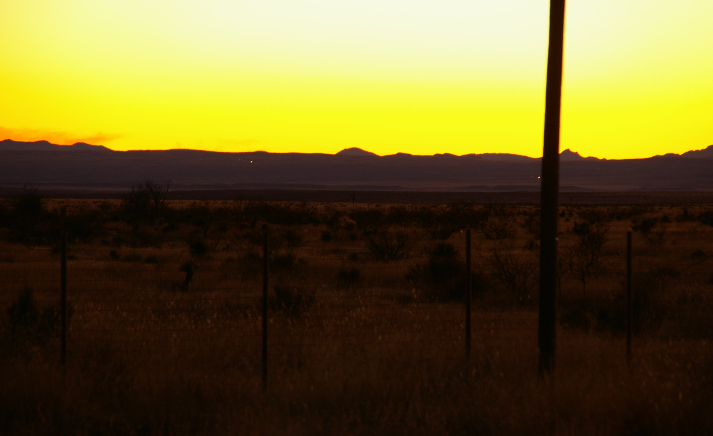
By the time I got back into town, the BBQ place was closed, the pizza place had run out of dough, and there was no way I was eating at the Paisano again. I stumbled upon their New Age grocery, and got me some soy chorizo to make tacos back at the coop, and another bottle of rioja.
Today...
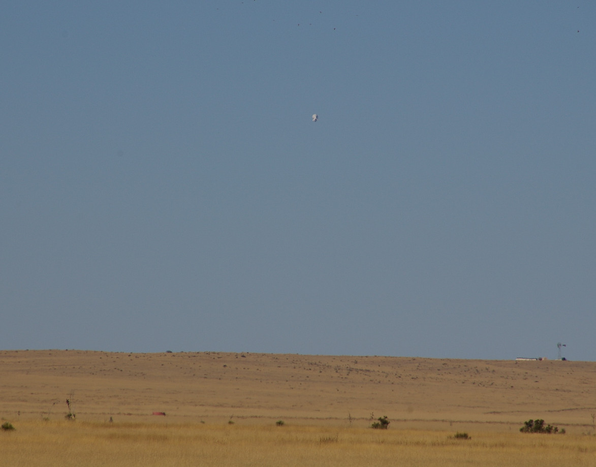
From the Marfa airport you can view the all-seeing eye of INS/DEA, with their blimp. Don't go within 5 miles or you're dead.
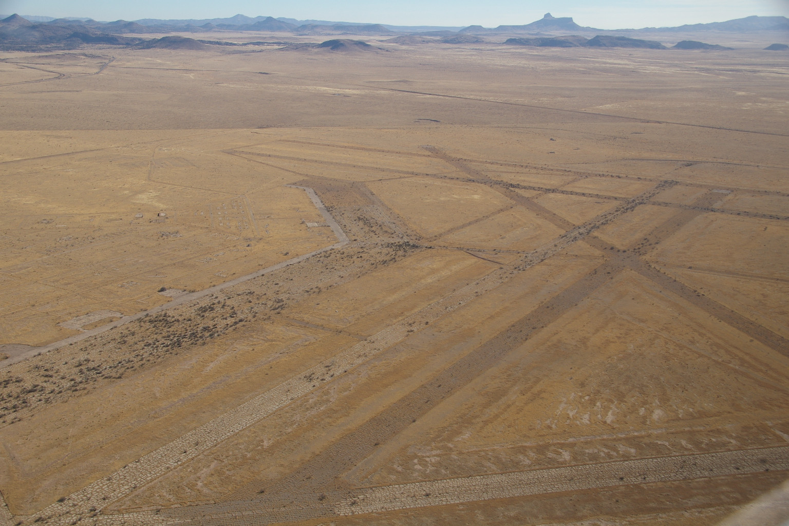
The Marfa Airfield from WWII. Something like 20,000 pilots trained here (and probably learned x-wind landings).
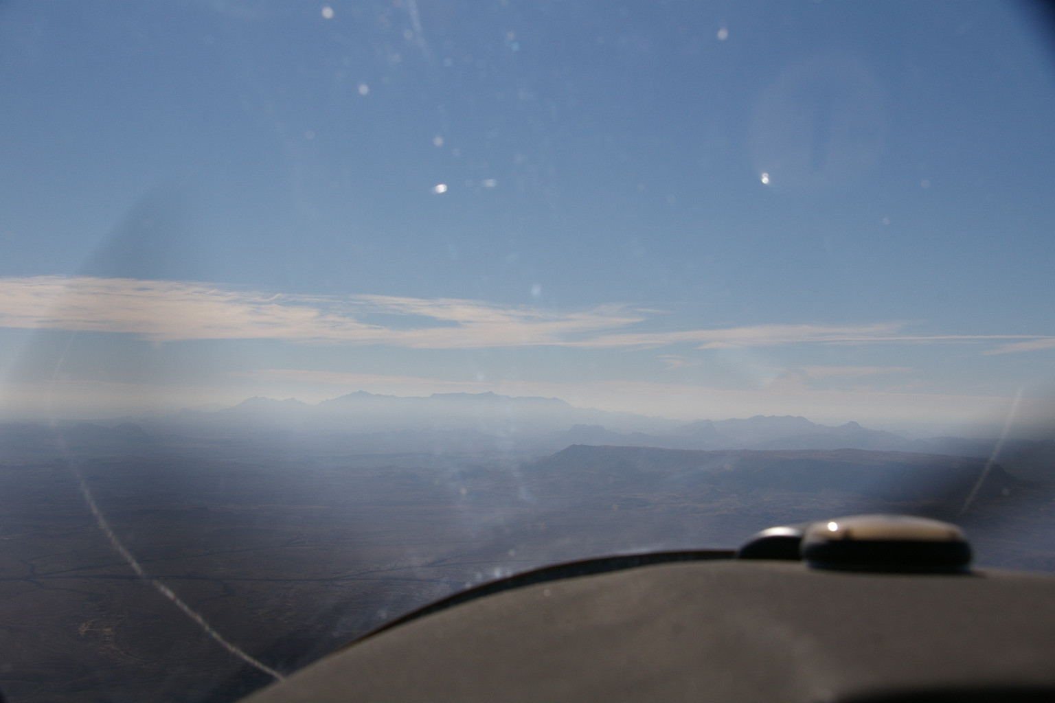
I headed for Big Bend NP this morning, but the visibility went to heck. The Chisos mountains. I turned towards Dallas from here.
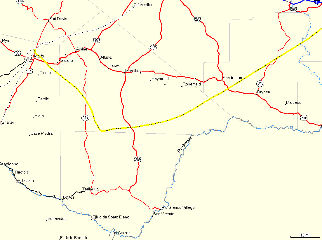
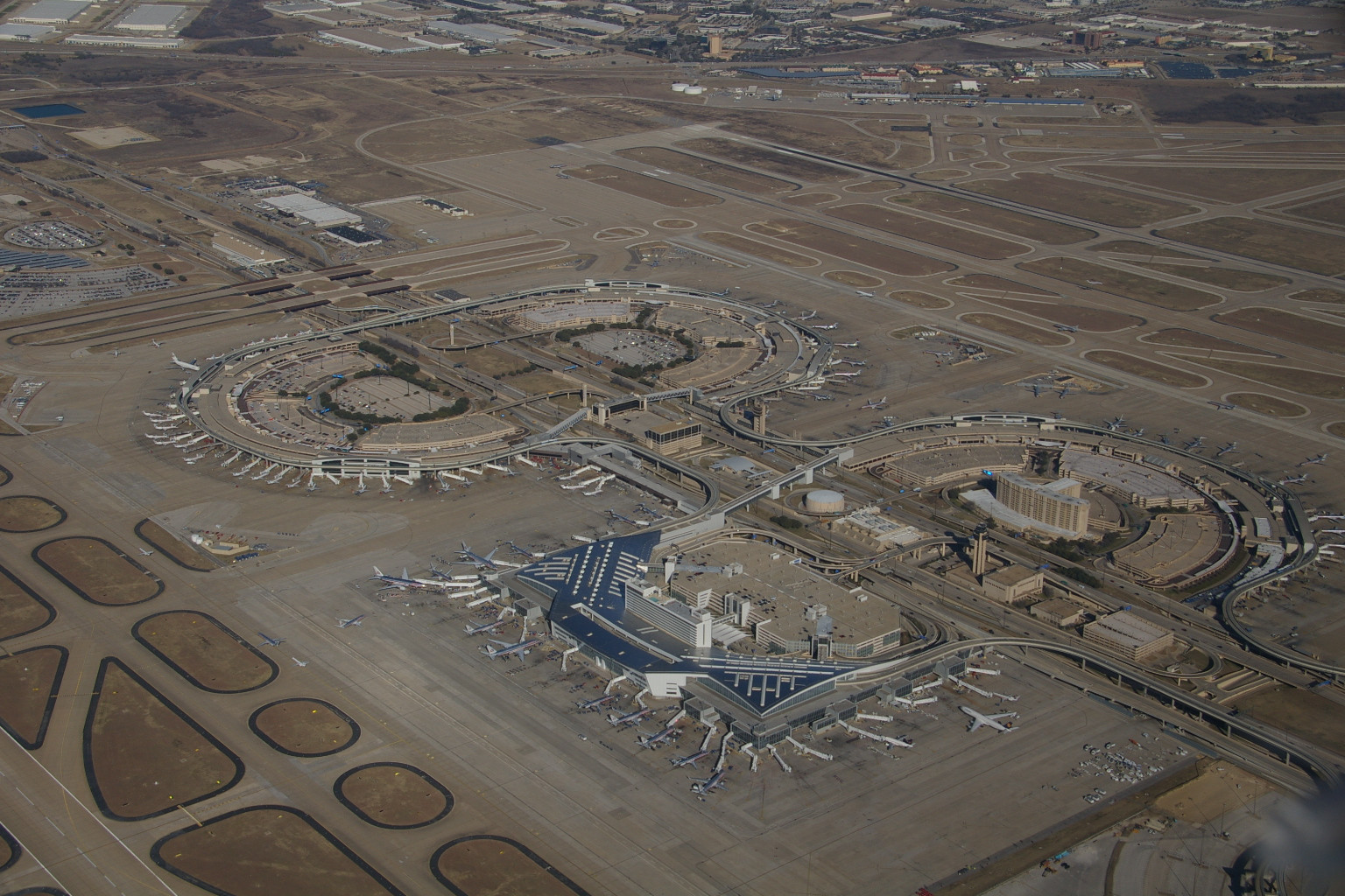
ATC was nice enough to vector met VFR right over DFW at 3500 MSL. Way cool, though it was bumpy as hell. The return leg was 450nm, 3.7 hrs, and 17 gallons of unleaded. Just to make things fun, the wind was 210 at 11 gusting to 21, which on runway 15 was a bitch. Hopefully only the tower was watching.
.
.